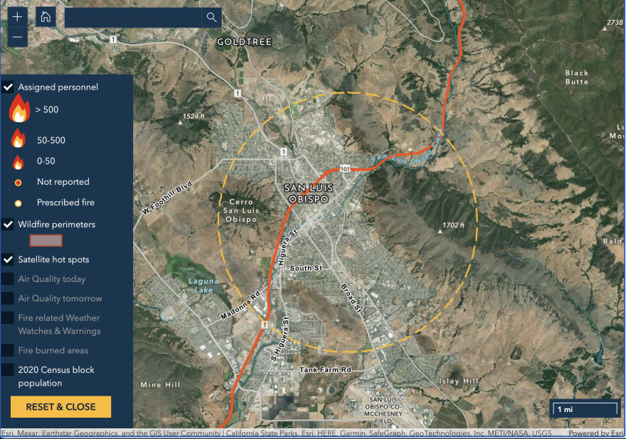
A new web service by a California-based mapping company shows detailed information on wildfires in real time. It shows information like nearby population size, climate and drought conditions to try to give people context on wildfires around them.
Esri is a Southern California-based company that works with geographic information systems (GIS) which collects, visualizes and analyzes data in digital maps.
Chris Ferner is a wildland fire specialist for the company. She said Esri developed Wildfire Aware to display information beyond basic containment and acreage numbers.
"We're using that authoritative data such as from the Forest Service or from Cal Fire and saying, 'Well, what else is important besides just the standard facts?' We also want to know how many people live right there," she said.

Ferner said Esri developed the map to help people get more information into wildfires around them. But she said they can also use it to check on friends or family threatened by wildfires anywhere in the country.
"Our family members, our friends say, 'Hey, I heard about this fire on the news. What can you tell me about that area where it’s burning?'"
Ferner said this app allows people on the Central Coast to look at any wildfires that could pop up. Even if there’s no fire burning at the time, people can still zoom in to a city like San Luis Obispo and see data that’s useful to know during any future fires.
As the climate warms and drought intensifies, Ferner said she hopes having more context will allow people to prioritize what information is important when fires inevitably break out.
"It gives us a little bit tighter view of what's a higher priority," she said.
Wildfire Aware is publicly available online here.


