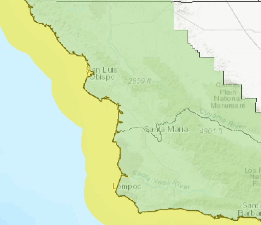
In January, the underwater earthquake that struck near Tonga led to a tsunami advisory for the California coast, including coastal San Luis Obispo and Santa Barbara Counties. The Santa Cruz harbor was also damaged by the high water levels, though they paled in comparison to the 2011 tsunami from an underwater earthquake off the coast of Japan.
Now, local and state officials are urging caution and planning during Tsunami Preparedness Week from March 21 - 25.
Experts say tsunamis, especially catastrophic ones, are rare — but that events like the Tonga and Japan earthquakes in recent memory prove they still are a possibility. With that in mind, California’s Office of Emergency Services (Cal OES) teams up every year with the California Geological Survey and the National Weather Service to urge coastal communities and visitors to be prepared.
“Whether you live along the coast or just visit the beach on occasion, it’s important to know the hazards and how to keep you and your family safe," said Jon Gudel with Cal OES.
According to Gudel, evacuating during a tsunami follows many of the same principles as during a wildfire — but the importance of getting to high ground during a tsunami is a crucial difference.
“Listen to local authorities. If they tell you to evacuate, evacuate as quickly as possible and know those evacuation routes. Don’t wait until you’re told to leave before you get to higher ground," Gudel said.

Just like with wildfires, Gudel has specific recommendations on how to be prepared for a tsunami.
“You want to have food and water for at least 72 hours. Make sure you have cash in your wallet, gas in the car, phone chargers, any type of medicine you may need.”
Gudel also said downloading the MyShake app, which gives advance warning of major earthquakes, can help people in coastal areas like the Central Coast be ready for a tsunami.
“This allows you to have really life-saving seconds of notification when an earthquake strikes.”
Eric Endersby, the Harbor Director for Morro Bay, said if a major earthquake does happen somewhere and its effects reach the Central Coast, there are usually a couple signs to look out for.
“It wouldn’t be unheard of if the water recedes a lot or something really changes. We saw that with all the recent tsunamis: water receding on the beach and coming up pretty high up onto the beach periodically," Endersby said.
Endersby said SLO County is working on improving its plans for tsunami evacuations in low-lying communities like Morro Bay and Oceano.
“The county’s working on what the evacuation routes are, and those sorts of things. Generally you just want to get to higher ground, wherever that is, to look around and see where you might go, because you don’t want to plan that when the warning siren comes off," Endersby said.
If officials think a tsunami is coming, they’ll issue either a tsunami watch or warning. A watch means a tsunami is possible, while a warning means a potential tsunami-creating event has already happened and that coastal communities may need to evacuate.
A map of tsunami hazard areas in SLO County is available here.


