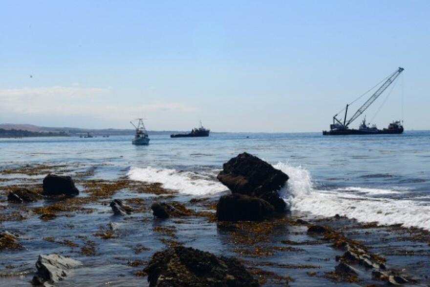
Samples are being taken from tar balls showing up on beaches in Southern California to see if the oil could be coming from the pipeline spill in Santa Barbara County.
The LA County Public Health Department closed beaches Wednesday in the South Bay, including Hermosa and Manhattan Beaches, because of the oil. The beaches could open as soon as Friday.
NOAA says its working to track the Refugio spill's movement with help from scientists at UC Santa Barbara. David Valentine is a Professor of Earth Science at UCSB and says tracking this oil presents a unique challenge.
"The issue of oil fingerprinting is made very tricky in this case because the oil that was spilled is from the same geological stratum that the seep oil comes from," said Valentine. "And so, the traditional approaches to identifying and fingerprinting an oil are not as useful in this case."
California State Parks says it is extending the closures of the beaches and campgrounds at Refugio and El Capitan through June 18, nearly two weeks longer than previously announced.
The pipeline company, Plains All-American, said Thursday that crews have now finished excavating the ruptured portion of pipeline running along Highway 101.
The section of pipeline is expected to be transported and examined by a third party to determine a possible cause for the May 19 failure.


