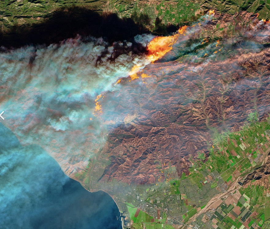
Predicting when a heat wave or wildfire hits in California could be as easy as looking to an app.
Real-time data from the Camp Fire got UC Berkeley geography professor Jeff Chambers thinking: California has all the tools for rapidly detecting wildfires. A weather satellite sits above California taking photos about every five minutes and that's just one satellite collecting information.
Data like this is already used while fires are raging, but Chambers argues it could be put into app form, which he's modeled.
"We need some kind of a statewide way of coordinating this and these technological capabilities are an important part of helping to make that happen," Chambers said.
His research shows the Camp Fire at times consumed about 200 football fields every 30 minutes. Chambers said a computer program could be easily made to actively search for hot spots and then be used to alert emergency responders and the public within as little as 15 minutes after flames are spotted.


